Our Survey Instruments
& Mapping Fleet
We operate LiDAR sensor, geodetic GNSS sensors, high-payload heavy-lift drones, optical/thermal cameras, total stations, and hydrographic sonar instruments.
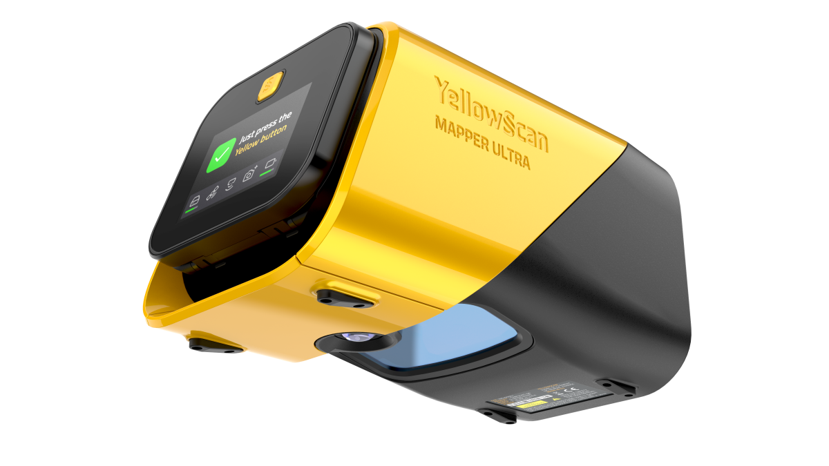
YellowScan Mapper Ultra
High-precision UAV LiDAR system optimized for Beyond Visual Line of Sight (BVLOS) operations and corridor inspections. Features 7-echo technology for exceptional vegetation penetration.
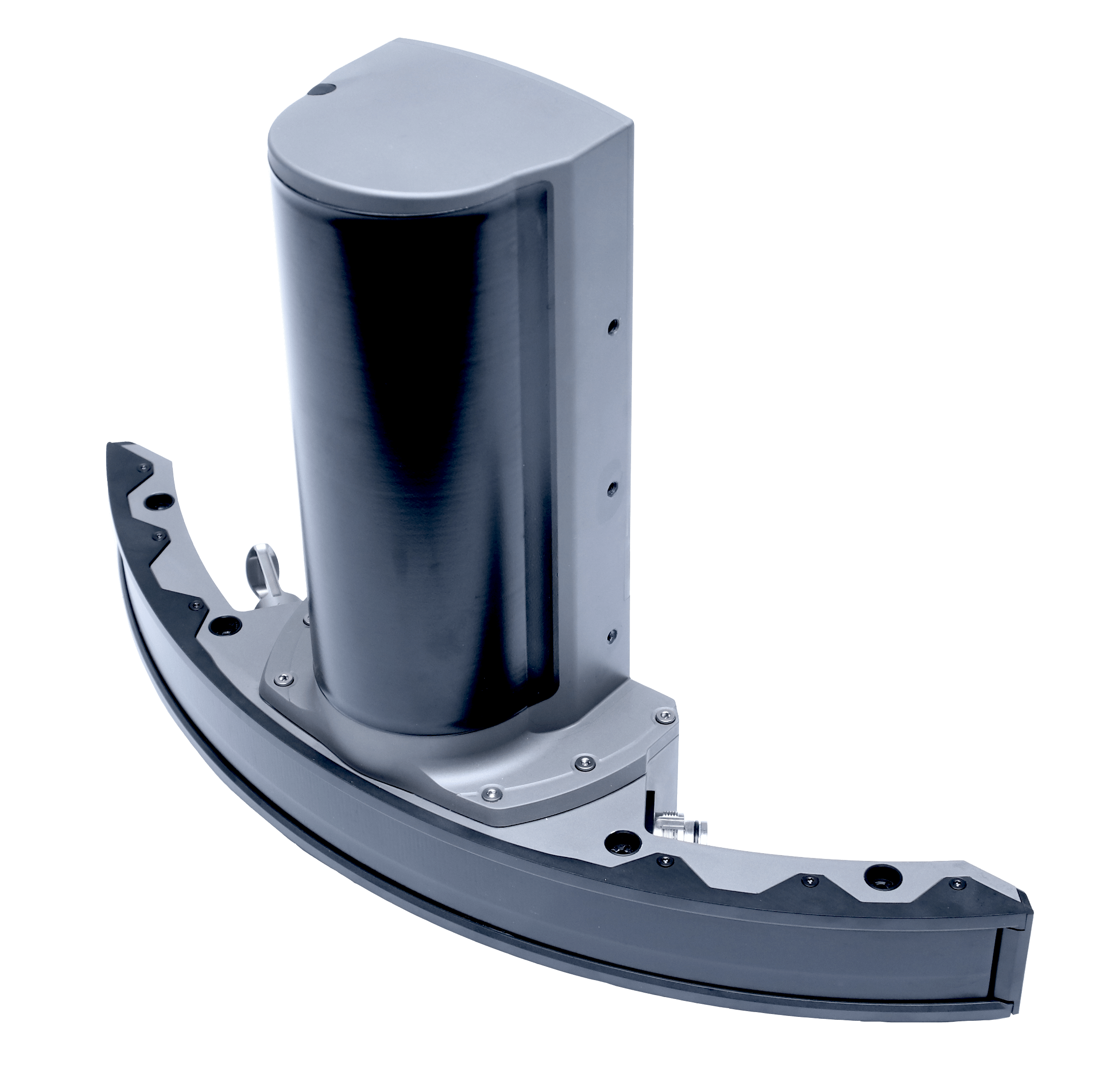
NORBIT Winghead X Multibeam Sonar
Integrated Wideband Multibeam Sonar system featuring a high-end GNSS/INS inertial navigation system. Perfect for high-resolution shallow-water surveys, pipeline inspections, and harbor mapping.

DJI Matrice 4 Enterprise
Compact drone platform for rapid aerial surveys, equipped with a mechanical global shutter to eliminate motion distortions at high cruise speeds.

DJI Matrice 4 Thermal
Equipped with thermal and high-zoom sensors, this enterprise platform is specialized for asset inspections, solar farm grading, and industrial monitoring.
DJI Matrice 400 RTK
Our next-gen heavy-lift workhorse mapping drone. Delivers extended air times and high wind resistance for large forestry and pipeline mapping runs.

DJI Matrice 350 RTK
Flagship industrial UAV platform supporting multi-sensor hot-swaps. Extremely resilient to weather and electromagnetic disturbances.
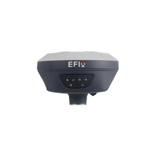
EFIX F7+ GNSS Receiver
Heavy-duty geodetic GNSS RTK base and rover system. Features tilt-compensation for mapping coordinate locations without needing a leveled pole.
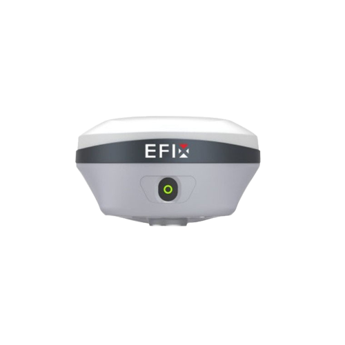
EFIX F8 GNSS Receiver
Next-gen receiver featuring dual-camera AR visual overlay. Allows surveyors to locate coordinate staking marks graphically in real-time.
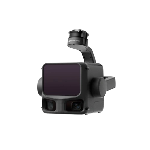
DJI Zenmuse L3 LiDAR
High-accuracy airborne laser scanner incorporating a high-grade IMU and mapping sensor for forest canopy filtering and bare-earth elevations.

DJI Zenmuse L2 LiDAR
State-of-the-art lidar payload combining scanner unit, IMU calibrator, and camera, providing centimeter-level engineering point clouds.

DJI Zenmuse P1 Payload
High-resolution full-frame photogrammetry camera, built specifically for orthomosaic mapping, digital twins, and cadastral datasets.
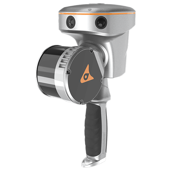
CHCNAV RS10 Handheld SLAM
Revolutionary handheld SLAM scanner. Integrates visual cameras, laser profiling, and RTK GNSS for surveying GPS-deprived indoor or underground spaces.
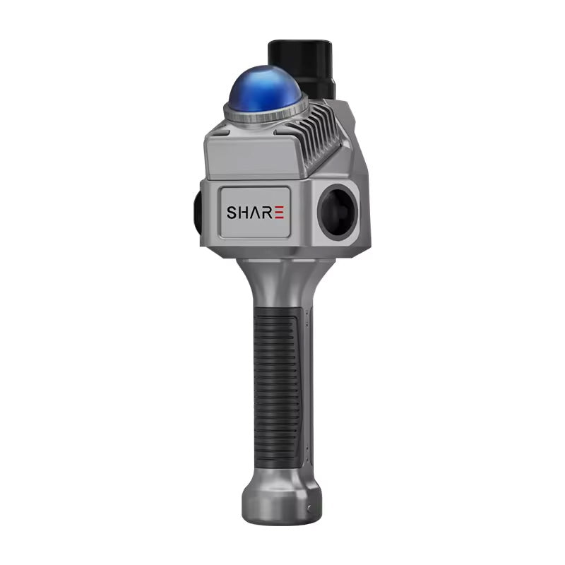
Share S10 SLAM Scanner
Portable 3D SLAM mapping scanner, ideal for rapid warehouse measurements, structural surveys, and volume stockpiles computations.
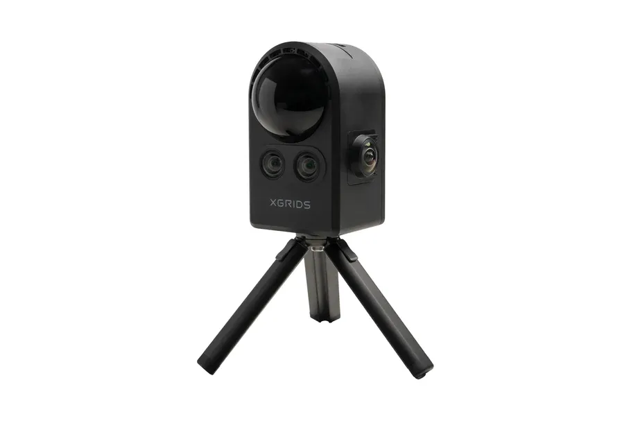
XGrids Lidar Scanner / Portal Cam
Handheld spatial mapping tool generating realistic 3D models. Transforms indoor locations into textured meshes with automated boundary lines.

EFIX Total Station
Reflectorless electronic optical total station for absolute boundary setups, civil layouts, and engineering validation grids.

Satlab Hydroboat 990
Precision echo sounder payload designed to measure sub-surface water topography. Plugs into autonomous surface survey vessels.
Technical Calibration & Standards
All equipment in our fleet is routinely calibrated by accredited laboratories before and after project deployment. The use of RTK GNSS sensors is calibrated directly against the BIG (Geospatial Information Agency) CORS reference station for absolute compliance with Indonesian national mapping standards.