Spatial Camera
& Digital Twin Mapping
Digital twin creation and spatial mapping using advanced spatial camera technology.
Mesh Resolution
Photorealistic 3D Mesh
Panoramic View
360° Field of View (FOV)
Processing Speed
Fast Cloud Processing
Primary Application
Digital Twins & BIM Audits
Stitching Reality into 3D Models
Spatial camera mapping utilizes multi-sensor visual systems to document interior environments. By capturing high-definition HDR panoramic spheres across multiple target points, our software constructs a georeferenced coordinate grid. Photogrammetry adjustments process these visual relationships, compiling detailed 3D models and digital twins.
Ideal for real estate listings, asset management, and construction audits, this visual solution links remote stakeholders to physical sites instantly.
HDR Panoramic Stitching
Multi-lens arrays capture high-dynamic-range photos, stitching them into seamless 360° panoramic spheres with true color representation.
Photogrammetric Mesh Link
Aligns structural geometries across visual data to compile dense 3D meshes of room interiors and asset details.
Interactive Spatial Reviews
Compiles georeferenced visual walkthroughs, allowing stakeholders to inspect facility dimensions remotely via standard web browsers.
Spatial Camera Fleet
We operate specialized, high-resolution panoramic scanning cameras to document interior environments.
XGrids Portal Cam
Our primary high-resolution panoramic mapping camera. Designed for quick room documentation, it features dual panoramic lens systems and integrated laser triangulation, compiling digital twins directly to cloud processing nodes.
Spatial Camera Deliverables
We process spatial camera data into interactive virtual tours and industry-standard 3D models.
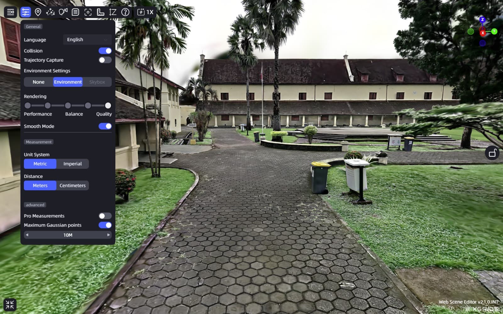
3D Virtual Walkthrough
Interactive spatial walk paths, allowing users to visit any scanned indoor environment online. Crucial for real estate visual tours and remote property scoping.
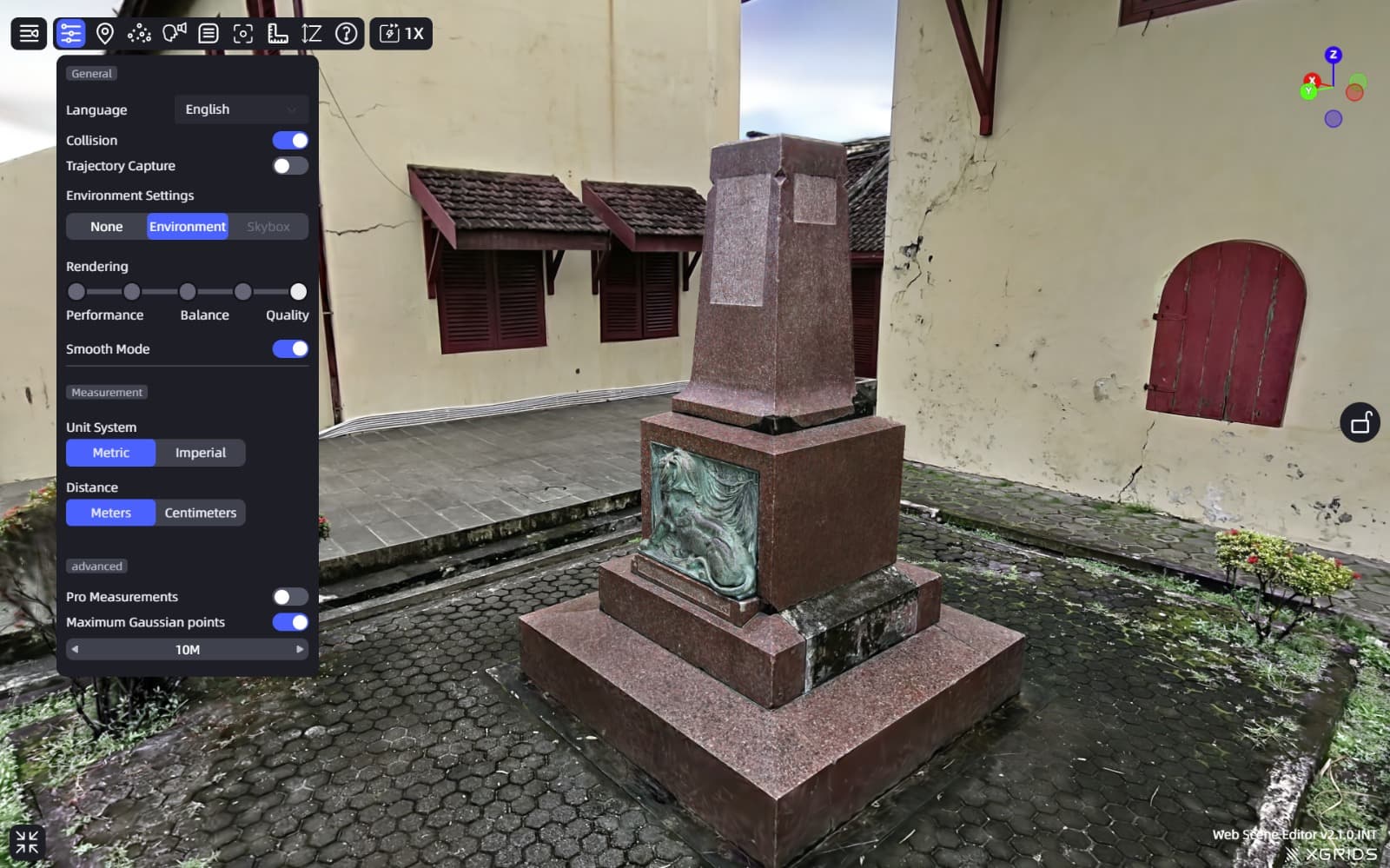
Photorealistic 3D Mesh
High-density 3D textured mesh capturing shapes and dimensions of assets. Plugs directly into BIM architectures and CAD twins.
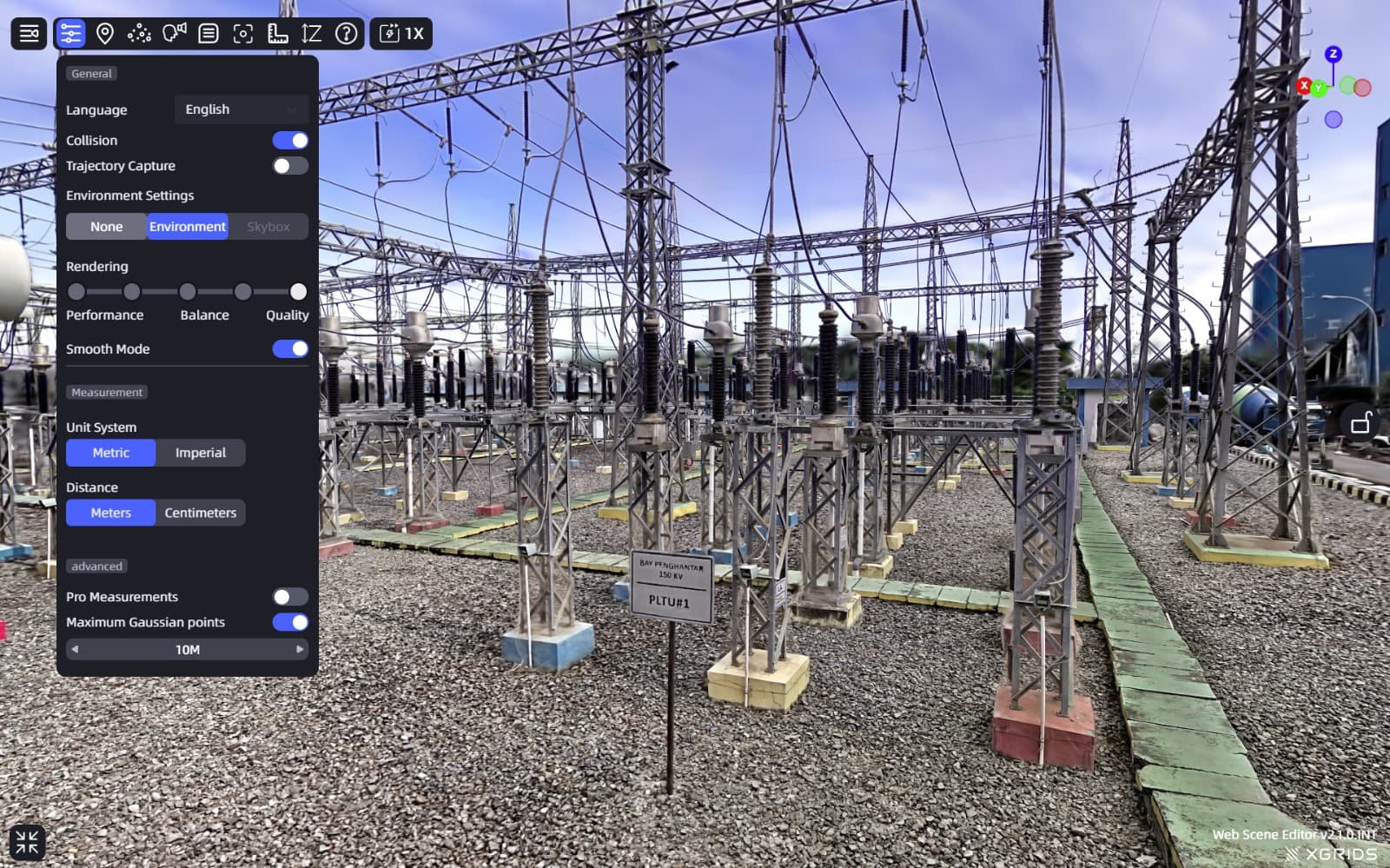
Visual Asset Inventory
Detailed layouts and lists identifying structural assets, structural columns, electrical conduits, and facilities layouts, mapped directly from 3D models.
Explore Our 3DGS Asset Live
Through the link shared by LCC Cloud, you will enter a new three-dimensional world and explore the ultra-high-precision 3DGS model. Open the 'Web viewer' to browse and interact easily. Experience it now!
Spatial Camera Applications
Applying photorealistic digital twins to facilitate facility inspections and listings.
Real Estate Scoping
Virtual walk paths and floorplans of properties and luxury retail showrooms for online listings.
BIM & Reconstruction
Auditing interior layouts to model structural walls, columns, and verify conduits distribution.
Factory Inspections
Visual asset directories allowing plant managers to inspect factory layouts and monitor setups remotely.
Exhibition Centers
Virtual interactive guides for museums, convention centers, and digital gallery walkthroughs.
Ready to Capture Your Facility Twin?
Discuss your surveying needs with our technical team. We provide tailored solutions and accurate estimations.